
Totally Optimized
The Perfect solution for all the protection Question
Surveying & Geomatics
Surveying & Geomatics
Our Specialized Services
Get in touch for a free consultation or project quote. We’re ready to provide you with the precision data you need to build with confidence.
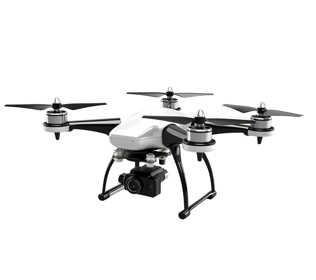
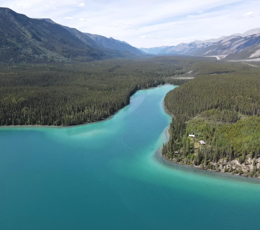
Using advanced drone technology, we capture high-resolution aerial imagery to create precise topographical maps and site surveys. Our services support industries such as construction, agriculture, and environmental planning by providing accurate data for informed decision-making.
- High-Resolution Orthomosaics
- Digital Elevation Models (DEM)
- 3D Modeling & CAD Integration
Our GNSS RTK surveys provide highly accurate positioning and elevation data, essential for engineering projects, land development, and infrastructure planning. Real-time corrections ensure top-tier accuracy in even the most complex terrains.
- Centimeter-Level Accuracy
- Efficient Data Collection
- Comprehensive Terrain Analysis
Our high-definition 3D laser scanning services capture millions of data points, creating detailed spatial models of structures and terrain. We process raw data into actionable 3D models for design, planning, and documentation.
- Detailed Point Clouds
- As-Built Documentation
- BIM Integration
Track your construction project’s progress with real-time aerial and ground-based data collection. We provide high-quality imagery, volumetric calculations, and comprehensive reports for efficient project management.
- Regular Site Surveys
- Volume Calculations
- Visual Progress Reports
We establish precise georeferenced control networks to ensure high-accuracy land surveys and mapping. Our expert data processing transforms raw field data into actionable 3D models, CAD drawings, and GIS-integrated datasets for construction, engineering, and urban planning projects.
- Permanent Survey Control
- Seamless CAD & GIS Integration
- Advanced Post-Processing
